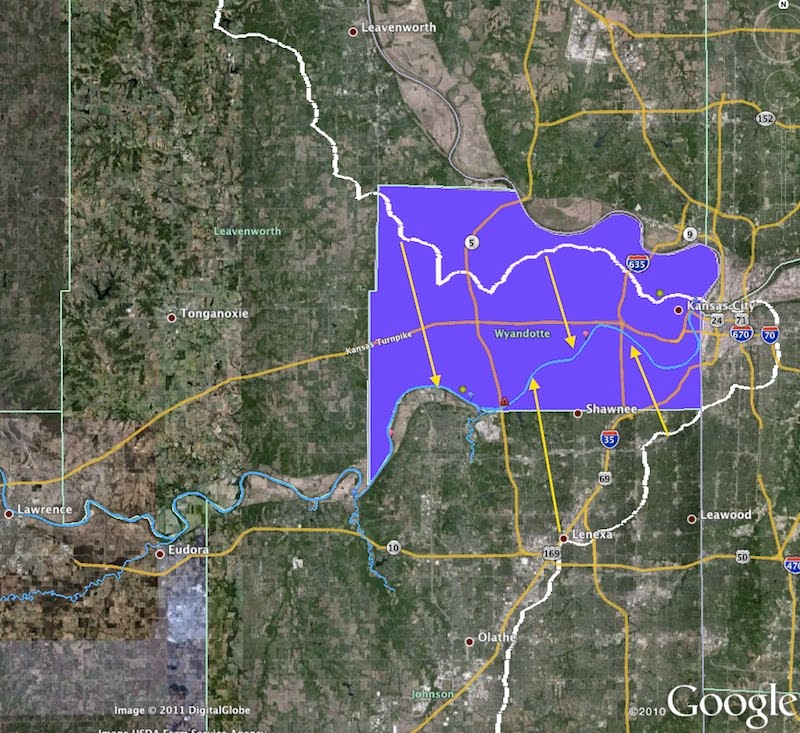
In this section we provide resources for exploring and mapping how students in the KCK area depend on the river and how their activities affect the river. By creating their own maps students have an opportunity to communicate what is important in their personal landscapes. Wyandotte County is a place of rivers-- the border in the upper right hand corner is formed by the Missouri River and the border in the lower left hand corner is formed by the Kansas River. This is where the Kaw ends its 171 mile journey from Junction City to join the Missouri River at Kaw point. The screen shot above is from Google Earth. Map Key:
|
Where You're At >


